
Unmanned Aerial Vehicle
Monell 3D employs the latest in UAV technology. UAV data, when integrated with accurate ground control, is ideal for our engineering clients.
Using photogrammetry software, we are able to convert the data captured in each image into accurate 3D models. Recently, we added aerial LiDAR to our services. LiDAR, similar to 3D laser scanning, generates a much denser pointcloud versus traditional UAV photogrammetry. This is ideal for collecting data hidden under a canopy or structural integrity studies.
Another advantage of using UAVs is they greatly reduce the time spent collecting accurate data. Large survey jobs that once took weeks can now be completed in just a few days. UAVs are also much safer than traditional collection methods, greatly reducing slip/trip/fall hazards and eliminating the need to survey in high traffic areas.

Previously unknown Mayan civilizations were discovered under the jungle canopy in northern Guatemala using LiDAR.
Services
- Landfill topographic surveys
- Stockpile volumetric calculations
- Water penetration studies (infrared camera)
- Emergency response documentation
- Site construction monitoring
- Forensic analysis
- Precision Agriculture using NDVI sensors
History
We have flown hundreds of missions, working closely with local, state, and federal agencies, ensuring safe and incident free flights. We are Part 107 certified and fully insured.
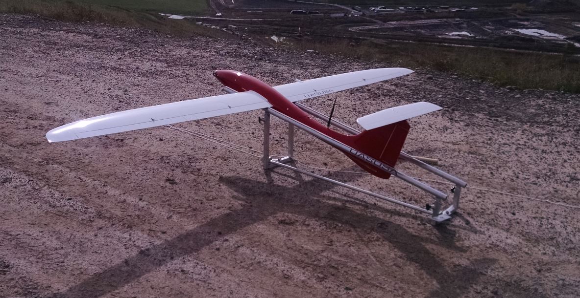
Equipment
- DJI P4 Pro v2 for traditional UAV mapping
- Matrice M200 equipped with Riegl VUX-1UAV for aerial and mobil LiDAR mapping
Software
- Global Mapper with LiDAR extension
- Pix4D
- ArcMap
UAV projects
incidents